Marshfield, Wisconsin
| SooLineHistory Group | Index and Map | 1 - The Story | 2 - Pictures |
|---|---|---|---|
| 3 - Pictures | 4 - Pictures | 5 - Pictures | 6 - Pictures |
| 7 - Pictures | 8 - Pictures | 9 - Pictures | 10 - Pictures |
| 11 - Pictures | 12 - Pictures | 13 - Pictures | 14 - Pictures |
| 15 - Pictures | 16 - Pictures | 17 - Pictures | 18 - Pictures |
| 19 - Pictures | 20 - Pictures | 21 - Pictures | 22 - Pictures |
| 23 - Pictures | 24 - Speculations | ||
| Previous Page | To see the pictures full-size, right-click and select "View Image." | ||
Keith
Keith
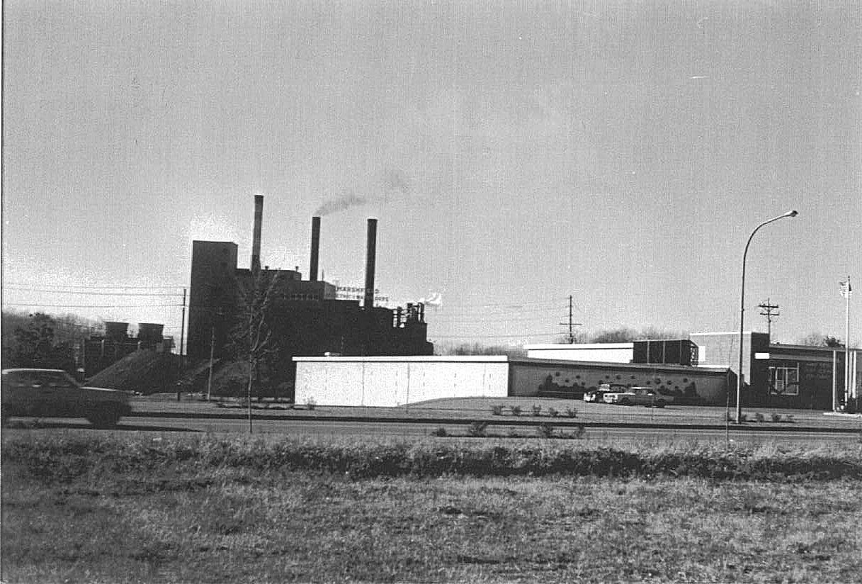
Not long after building Roddis, the Water & Light Department put up their new offices shown here. They are built into the side of a hill; what would be the "Basement" is the garage for the Municipal Utilities Line Trucks and vehicles.
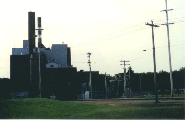
This still looks much the same save for the lack of the Power Plant looming in the background.
Note, too, to the left: what resembles to large wooden vats, which was the new cooling "Tower" for the last generator/turbine set installed in 1966.
Keith
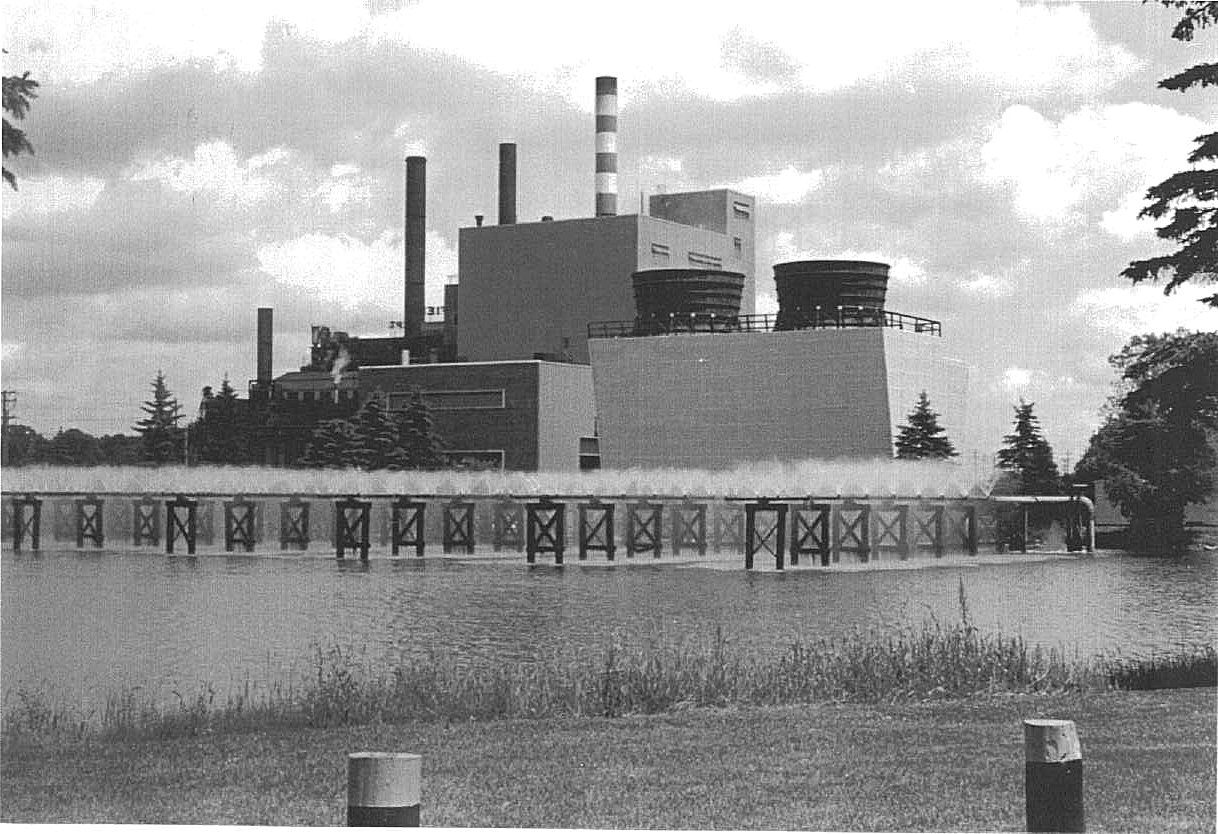
It was fun to see this in the dead of winter at -25 below zero. You would never believe the clouds of steam!!!!
Keith
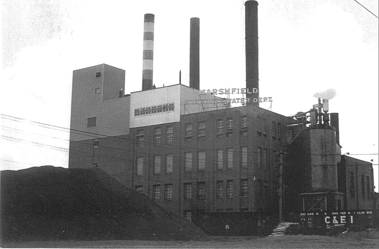
Note, too, two open hopper cars in the photo, an NYC (New York Central) and a C&EI (Chicago & Eastern Illinois) car, both AAR Design 70 ton cars. I cannot, for the life of me, recall C&EI cars coming to this power plant, although it is well within the possibilities because the plant also burned Southern Illinois High Sulfer Coal in addition to Pennsylvania Anthracite. I remember Peabody Short Line cars, an ARMY of Illinois Central, New York Central and Pennsylvania cars, Conrail, Louisville & Nashville, Gulf. Mobile & Ohio cars, along with the occasional Chicago, Burlington & Quincy, Chesapeake & Ohio and CSX cars, but not C&EI.
The explaination belies in the date: November 16, 1968. I would've been in school, and I missed a lot going past the house when I was in school, even though the elementary school I attended was only three blocks away. Until 1975, the Switch Engine made it's trips when I was inside in class. I'd hear them, but I wouldn't see them. When I see this photo, I'm often cause to wonder how much else I missed.
The Coal Pile is somewhat "Down" in this photo. Usually, until the early 1980's, this pile dominated the scene, practically obscuring the power plant itself.
This was NEAT to see at night. The neon "Marshfield Electric And Water Department" sign on the roof glowed a dark red; there was light in every window in the building, not to mention outdoor floods outside. Too bad a person never thought of photographing this place in those conditions.
Keith
Keith
| SooLineHistory Group | Index and Map | 1 - The Story | 2 - Pictures |
|---|---|---|---|
| 3 - Pictures | 4 - Pictures | 5 - Pictures | 6 - Pictures |
| 7 - Pictures | 8 - Pictures | 9 - Pictures | 10 - Pictures |
| 11 - Pictures | 12 - Pictures | 13 - Pictures | 14 - Pictures |
| 15 - Pictures | 16 - Pictures | 17 - Pictures | 18 - Pictures |
| 19 - Pictures | 20 - Pictures | 21 - Pictures | 22 - Pictures |
| 23 - Pictures | 24 - Speculations | ||
| To see the pictures full-size, right-click and select "View Image." | Next Page | ||