The Greenwood branch of the Soo Line Railroad Marshfield to Greenwood, Wisconsin | ||||||||||||||||||||||||
---|---|---|---|---|---|---|---|---|---|---|---|---|---|---|---|---|---|---|---|---|---|---|---|---|
| ||||||||||||||||||||||||
The Greenwood Line - Part 14 | ||||||||||||||||||||||||
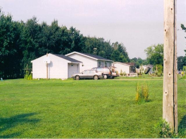
# 16- A G-Line Station Grounds-Yard.jpg (below) | ||||||||||||||||||||||||
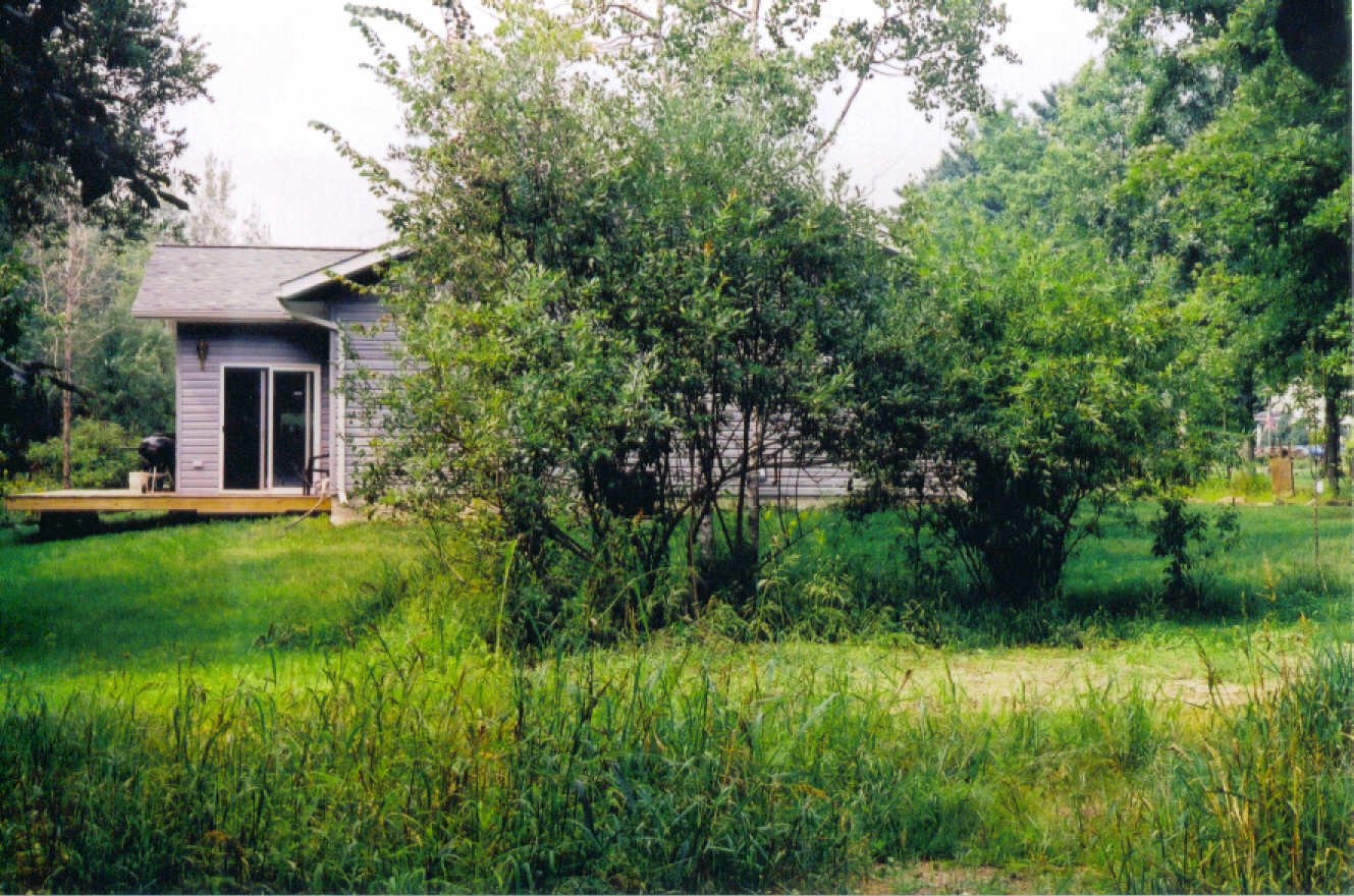
You'd never believe it, but I stood where the Depot WAS to shoot this, looking west towards State Highway 73. The Greenwood Mobile Oil Bulk Plant would've been out of the photo to the right. Except for my knowing where everything was, you'd have a hard time knowing this was a Greenwood Station grounds. Keith | ||||||||||||||||||||||||
# 16-B G-Line Beginning of Greenwood Yard West.jpg (below) | ||||||||||||||||||||||||
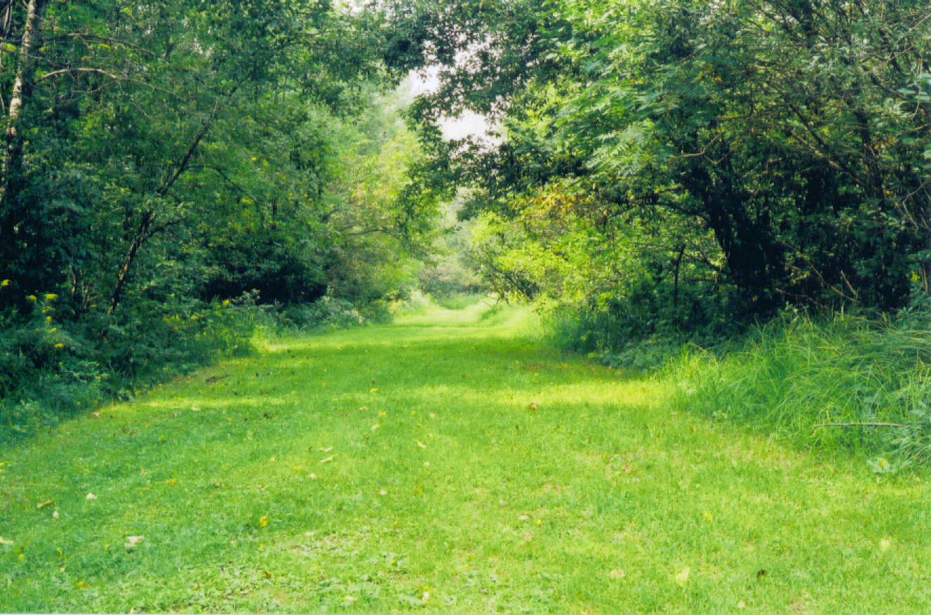
Looking west, I stood where the House Track Switch came off the main line at Greenwood. You'd never know it now. Keith | ||||||||||||||||||||||||
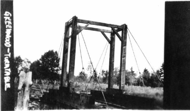
# 16-B G-Line Greenwood Turn Table 7-18-17.jpg (below) | ||||||||||||||||||||||||
The Greenwood "Gallows" type turn table ca. 1917, from the collection of Stu Nelson, a former Soo Line Train Dispatcher. The photo dates from an ICC Evaluation of the Greenwood Line performed in 1917, at which time the ICC made note of EVERY single RR-related structure and affliated railroad item. I'm not certain when the ICC started photographing everything. This 1917 report might have been the start of the ICC using photography. Keith | ||||||||||||||||||||||||
# 17-B G-Line 3 Dopes On A Flatcar Greenwood 1916.jpg (below) | ||||||||||||||||||||||||
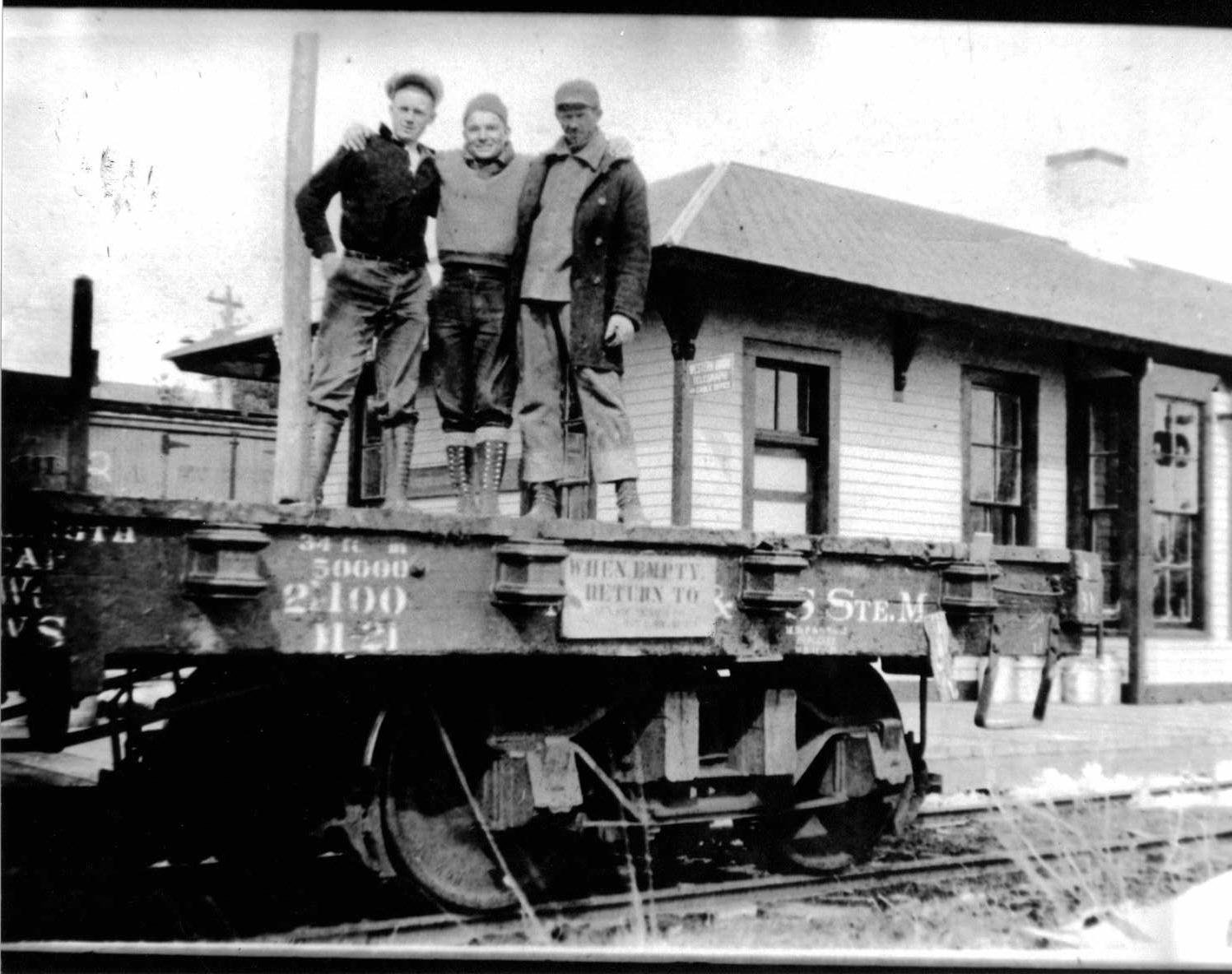
Sent to me from Larry Easton. This photo appeared the The SOO magazine in the articles Larry wrote about the Greenwood Line. I'm not really certain why these bozo's are there. In any case, they remain labeled as "3 Dopes On A Flatcar". Keith | ||||||||||||||||||||||||
# 17-C G-Line Abutment Close up.jpg (below) | ||||||||||||||||||||||||
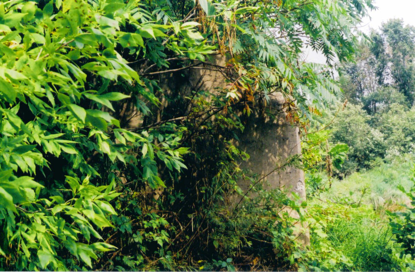
Finding this was akin to performing your own brain surgery. This is all that remains of the Steel Through-truss bridge over Rock Creek in Greenwood. I have no idea, nor did I have any inclination, to cross Rock Creek to see if the Eastern Abutments were still in the weeds. This will have to do. Enough Tresspassing went on to find this! Keith | ||||||||||||||||||||||||
# 17-D G-Line Rock Cr. Bridge Abutment East.jpg (below) | ||||||||||||||||||||||||
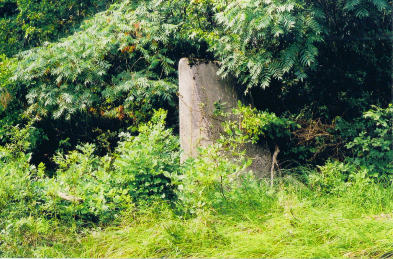
Looking eastward at the same Abutment from # 17-C. Keith | ||||||||||||||||||||||||
# 17-E G-Line Rock Cr. Bridge Footing.jpg (below) | ||||||||||||||||||||||||
When trying to photograph this remaining artifact, I went stumbling around on a MUDDY pathway (obviously used by one of the neighbor's for their ATV) and got closer and closer to Rock Creek. Suddenly, I was standing above Rock Creek and I happened to look down at my feet. I nearly soiled myself. Worst, I was also standing RIGHT NEXT to the Abutment shown in the previous photographs. Never knew it until I looked. Yeah, boy, I'm a regular Shermlock Homes. Keith | ||||||||||||||||||||||||
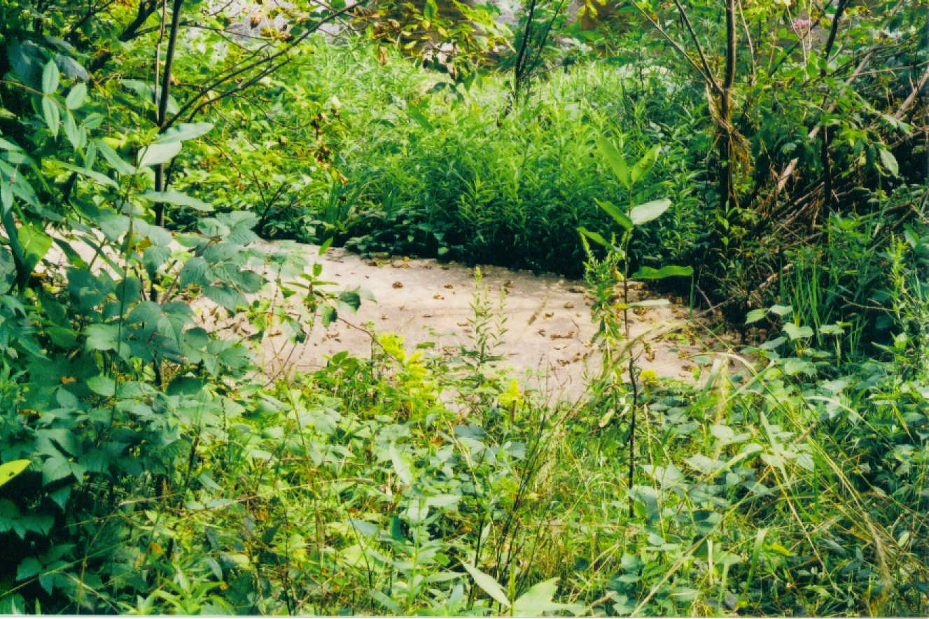
# 17-F G-Line Rock Creek Bridge looking West.jpg (below) | ||||||||||||||||||||||||
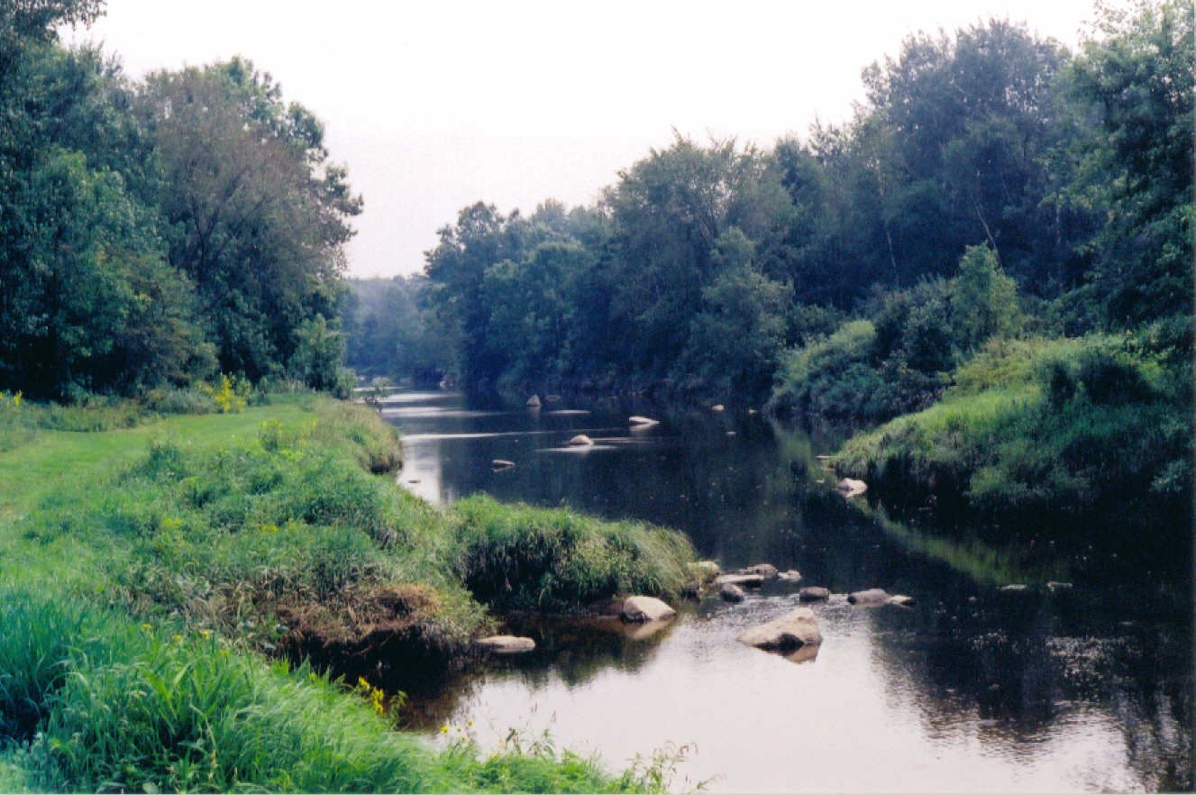
Look closely and you'll see that Concrete Abutment below the overhanging growth in the center of the photo. I walked all over creation to get to this spot to shoot this; someone takes excellent care of this and at least gave me a MOWN pathway to follow. I remembered this area once I came out on this side of where the bridge had been. When I got to ride the Greenwood Line Local between Loyal and Greenwood in the spring of 1977, one of the things that struck me was that from Hinker Road to the bridge the Greenwood Line ran on a sybstantial embankment with Rock Creek right along side, for about a 1/2 mile. When I walked out along this side of the creek, I remembered that from my ride. I also remember how the rear of the Engine (# 2404---we were running backwards, long hood westwards to Greenwood) was PHYSICALLY THROWN TO THE RIGHT when the leading truck hit the rails of the Rock Creek bridge. "Ka-BANG!!!" and we were turned to the right. The rear truck of the engine didn't do this, but the leading truck did. What a way to Railroad. Keith | ||||||||||||||||||||||||
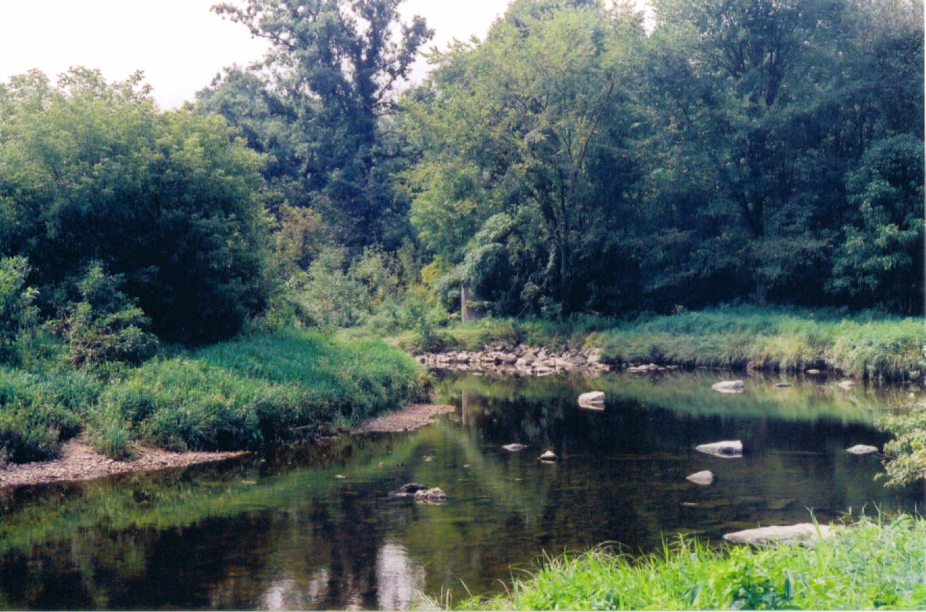
# 17-G G-Line Rock Creek East along r-o-w.jpg (below) | ||||||||||||||||||||||||
The Greenwood Line is over to the right where the abundant overgrowth of trees and brush are. This looks eastwards towards Loyal. Keith | ||||||||||||||||||||||||
# 17-H G-Line Rock Creek Greenwood East.jpg (below) | ||||||||||||||||||||||||
Dead ahead is the Greenwood Line r-o-w, although you'd never now it. I could see it standing here but the camera couldn't quite pick it up. It's possible the eastern abutment is over there, and I considered wading Rock Creek (only knee deep), but, understand, this was a HUMID day. By the time I got done shooting my photo's, I was WRINGING WET with sweat. Although the allure of wading Rock Creek was strong, I resisted, and I had enough "Friends" I had made with the local Mosquito population that beating the brush on the other side held no particular happenstance for me. I was being eaten alive anyway. Keith | ||||||||||||||||||||||||
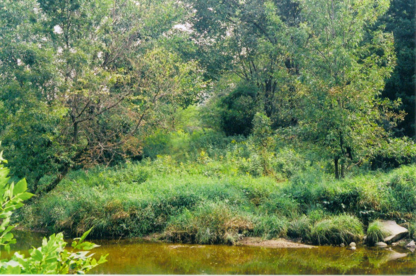
# 17-I G-Line r-o-w Leading to Rock Cr. Bridge.jpg (below) | ||||||||||||||||||||||||
I took this after a circuitous route to get here from where I shot where the House Track was. The Concrete Bridge Abutment is not far beyond. I was looking east at this point. Behind me was rutted muddy ATV trail. I was VERY happy to find this mown area! Keith | ||||||||||||||||||||||||
|
The content of this page was created by Keith Meacham, and he retains the copyright.
NOTE: In an effort to thwart the work of those automated "spiders" that roam
the internet harvesting e-mail addresses, to which their masters later direct mass
quantities of Spam, I have inserted the words "AT" and "DOT" in the link below.
When using the link below to contact the WebMaster, please replace those words
with the equivalent symbol, and remove any spaces, before sending the message.
It won't work unless you do. Hopefully your e-mail proggie will alert you.